|
|
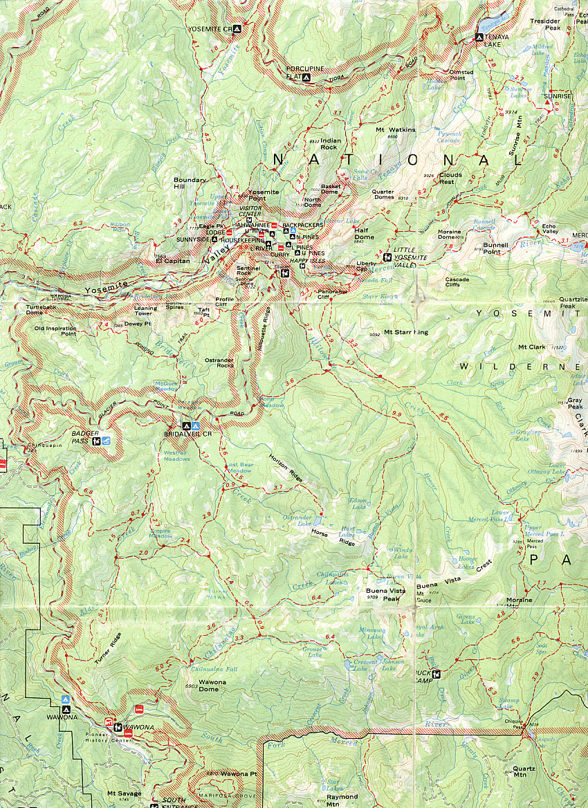
This map is an extract from the Recreation map of Yosemite National Park by Tom Harrison, copyright 1991. This is the best walking map I've found so far. The scale is about 1:125,000, not normally detailed enough for walking, but this map is more than adequate if you stick to the maintained trails. You can't do better than buy a copy of this map for an introduction to the walking trails.
The High Sierra Hiking Guide: Yosemite, by Jeffrey P. Schaffer, published by Wilderness Press, includes the USGS 1:62,500 Yosemite sheet, with the maintained trails emphasised, but does not cover all the area of the North Rim or the Cluods Rest walks.
The USGS 7.5 minute topo maps are more useful at a scale of 1:24,000 for the fine detail, but do not emphasise the major and maintained trails. You would need five sheets (Yosemite Falls, El Capitan, Half Dome, Wawona, and Mariposa Grove) to cover all the walks.